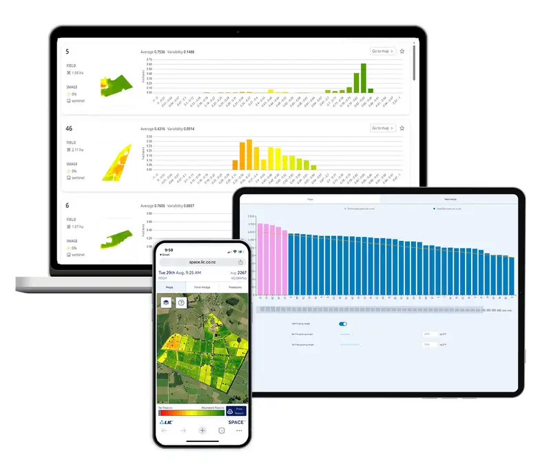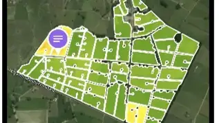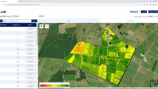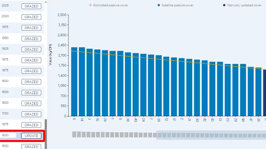
Satellite images are used to calculate paddock pasture cover when clear images of your farm are taken by passing satellites. These images are analysed to estimate average pasture cover (kgDM/ha) based on the standard New Zealand ryegrass/clover blend.
Your SPACE™ reports will be sent to you within 72 hours of the images being captured.